Road spotlight ·
Road Spotlight: The Blue Ridge Parkway as the Colour Comes Down the Ridge
Autumn colour is working its way down the Blue Ridge Parkway this month. Which sections are open, the one stretch that is still closed, and how to plan.
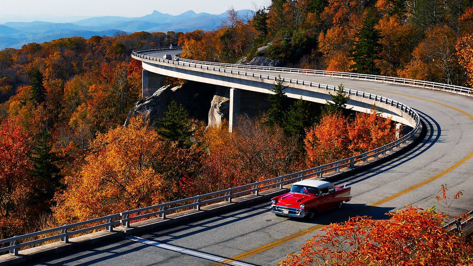

October is the month the Blue Ridge Parkway is known for. It is also the month it is busiest, and this year one stretch in North Carolina is still shut. Both are worth knowing before you set off.
How the colour moves
The Parkway runs 469 miles along the crest of the southern Appalachians, and its height changes a great deal on the way. It is at its lowest beside the James River in Virginia and climbs to 6,053 ft at Richland Balsam, south of Asheville. Autumn colour follows the height. The highest ground turns first and the colour then works downhill through the month, so there is usually somewhere on the road at its best from early October until the end of it.
The practical result is that you do not need to hit one perfect weekend. If the high section looks past its best, drop down a few hundred metres and try again. Warm or wet weather can delay things, so check a local colour report in the week you travel.
What is open this week
The National Park Service road status page, updated on 8 October, lists most of the Parkway as open. The exceptions that matter for a through trip are these:
- Mileposts 344.2 to 355.3, closed. This is the stretch north of Mount Mitchell, shut since Hurricane Helene. The page gives no reopening date. You will need to leave the Parkway at NC 80 and rejoin further south.
- Mileposts 63.5 to 63.9, closed for bridge work near the James River in Virginia, with a signed detour.
- Single-lane working in several places in North Carolina, including the section that carries the Linn Cove Viaduct. Expect short waits.
The high section from Asheville south past Richland Balsam to the end of the road is listed as open. The status page changes daily, so read it on the morning you drive.
Driving it in a Lotus
The limit is 45 mph, lower in places, and rangers enforce it. That suits the road. It is a touring route, and an Emira or Evora will cover it comfortably over two or three days.
In colour season the overlooks fill by mid-morning and traffic bunches behind slower vehicles. Weekdays and early starts are much quieter. Fog is common at height in autumn, and deer are active at dusk.
There is no fuel on the Parkway itself. With a small tank, plan to come off at a town roughly every 100 miles.
Making a trip of it
Our Blue Ridge Parkway trail guide has the full route. The Tail of the Dragon is a short drive from the southern end, and the road trip preparation guide covers the checks to do on the car before a long run.
Source: National Park Service, Blue Ridge Parkway road status and closures.