United States · Touring · Scenic · Smooth surface
Blue Ridge Parkway
Virginia and North Carolina
- Length
- 755 km469 miles
- High point
- 1,845 m6,053 ft
- Driving time
- 2–3 days
- Season
- April to November (sections close in winter)
- Toll
- Free
- Country
- United States
The Blue Ridge Parkway runs 469 miles along the crest of the southern Appalachians from Shenandoah National Park in Virginia to the Great Smoky Mountains in North Carolina. There are no traffic lights, no trucks and no billboards, only curve after curve with an overlook every few miles.
The drive
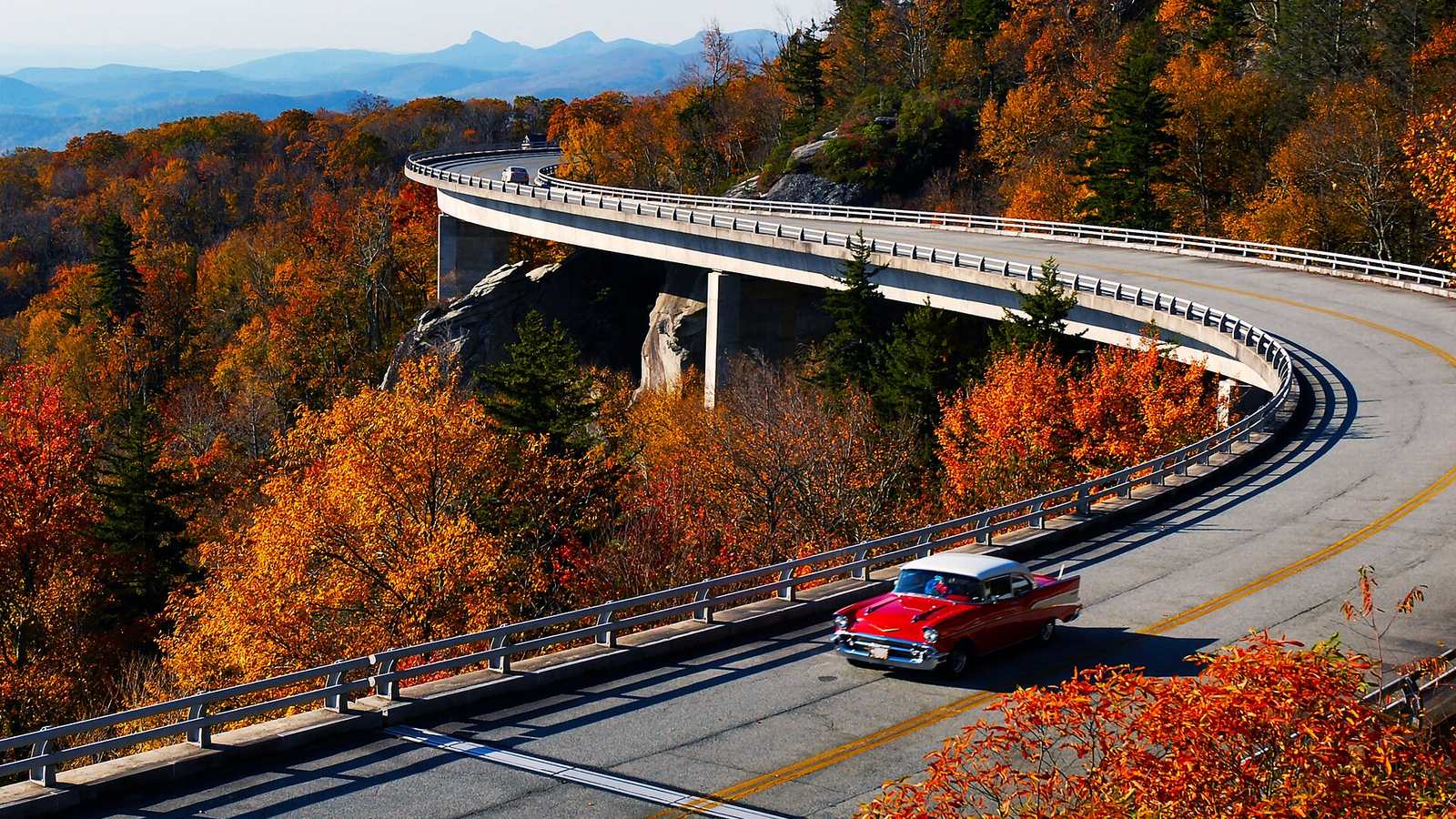
The North Carolina half is the more dramatic: the Linn Cove Viaduct around Grandfather Mountain, the climb past Mount Mitchell, and the high section south of Asheville that reaches 6,053 ft at Richland Balsam.
The limit is 45 mph, and lower in places. Treat it as a touring road and save the pace for the roads that drop off the ridge, such as NC 80, NC 226A and US 221, and for the Tail of the Dragon at the southern end.
In your Lotus
This is long-distance Lotus touring at its most relaxed, and a very good shakedown for a longer trip. The surface is generally smooth. Fuel is not sold on the Parkway itself, so you leave it at a town every 100 miles or so.
Watch out for
- Storm damage has closed sections for extended repairs in recent years. Check the National Park Service road status page.
- Deer at dusk, and dense fog at elevation.
- Rangers enforce the 45 mph limit.