United States · Technical · Forest · Bucket list
Tail of the Dragon
US 129 · Deals Gap
- Length
- 18 km11 miles
- High point
- 600 m1,969 ft
- Driving time
- 25 minutes
- Season
- Year-round (best April to October)
- Toll
- Free
- Country
- United States
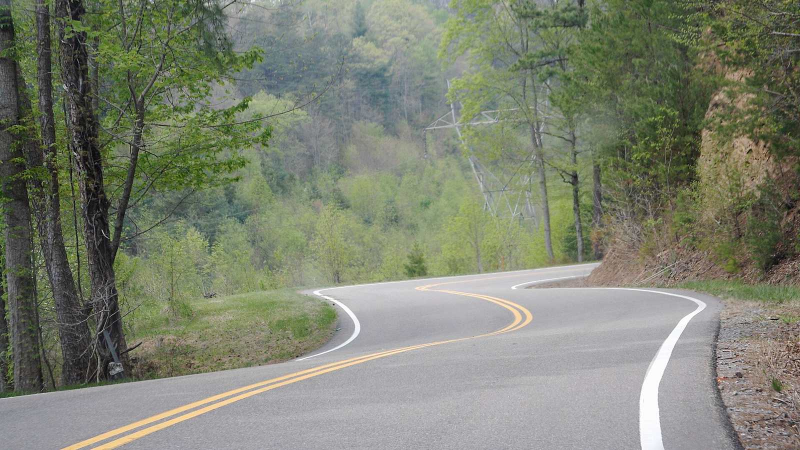
US 129 crosses Deals Gap on the Tennessee–North Carolina line with 318 curves in 11 miles and not a single junction or driveway. It runs along the edge of Great Smoky Mountains National Park under a continuous canopy of trees, and it is the best-known driving road in the eastern United States.
The drive
The corners are tight, cambered and relentless, mostly second gear, with names like Copperhead Corner and Gravity Cavity painted into local folklore. There is nowhere to overtake and very few places to pull off, so your pace is set by whoever is in front.
The roads around it are just as good and much emptier. The Cherohala Skyway climbs to over 5,000 ft with wide, fast sweepers, and NC 28, the 'Moonshiner 28', runs south from Deals Gap towards Fontana.
In your Lotus
With a 30 mph limit and constant direction changes, the Dragon is about agility, and nothing on the road changes direction like a Lotus. US-market cars are common here and the area hosts regular Lotus meets. Go midweek; weekends bring heavy motorcycle traffic and a strong police presence.
Watch out for
- The 30 mph limit is enforced by both Tennessee and North Carolina officers.
- Trucks over 30 ft are banned but occasionally appear, using both lanes.
- Photographers shoot every vehicle on several corners; wave, but stay in your lane.