Romania · Hairpins · High alpine · Bucket list
Transfăgărășan
DN7C · Făgăraș Mountains
- Length
- 90 km56 miles
- High point
- 2,042 m6,699 ft
- Driving time
- 2.5–3 hours
- Season
- July to October
- Toll
- Free (Romanian road vignette required)
- Country
- Romania
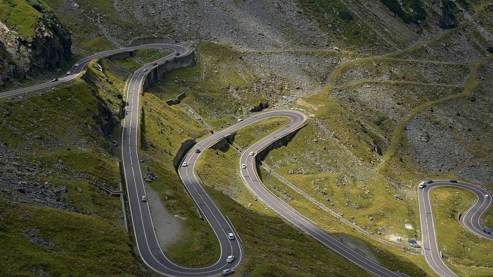
Built in the early 1970s as a military route across the Făgăraș range, the Transfăgărășan runs for about 90 km between Cârțișoara in the north and the Vidraru Dam in the south, cresting at 2,042 m in a tunnel beside Bâlea Lake. The northern ramp is the famous part: a ribbon of asphalt laid in wide, visible loops across a bare glacial valley.
The drive
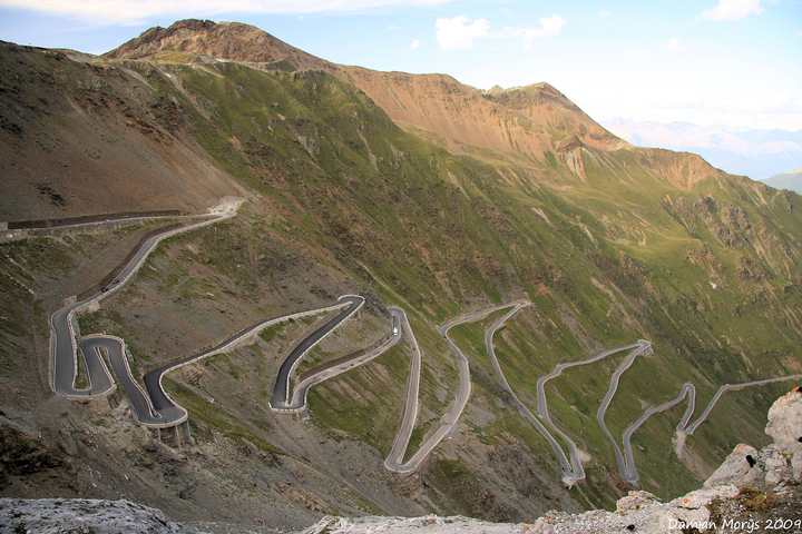
Start from the north. The lower section climbs through forest, then the trees stop and the whole valley opens up, with the road visible for kilometres ahead. The corners are more open than the Stelvio's, so you carry real speed between them and can see what is coming.
South of the tunnel the character changes completely. The road drops through a long forested valley, follows the shore of Lake Vidraru on a twisting, bumpy shelf, and finishes across the dam. Allow time; this half is slower than the map suggests.
In your Lotus
The sight lines on the north side suit a car you can place precisely. Ride height is the thing to think about: the surface has frost damage and patched sections, particularly on the south side by the lake, and a lowered Exige on track geo will need care. Fuel up in Cârțișoara or Curtea de Argeș, as there is nothing in between.
Watch out for
- The road is normally open only from about the start of July to the end of October, and overnight closures are common. Confirm locally.
- Brown bears are regularly on the roadside on the southern section. Do not stop to feed them.
- Livestock, sheepdogs and slow traffic share the road all the way.
_01.jpg)