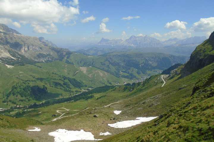
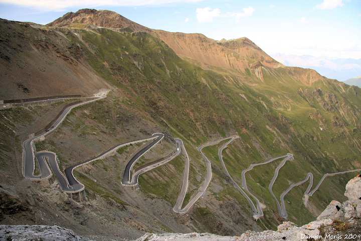
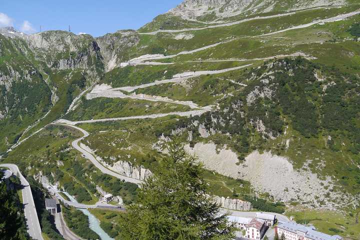
Austria · Hairpins · High alpine · Smooth surface
Grossglockner High Alpine Road
Großglockner Hochalpenstraße
- Length
- 48 km30 miles
- High point
- 2,504 m8,215 ft
- Driving time
- 1.5–2.5 hours
- Season
- Early May to early November
- Toll
- Toll road (day ticket per car)
- Country
- Austria
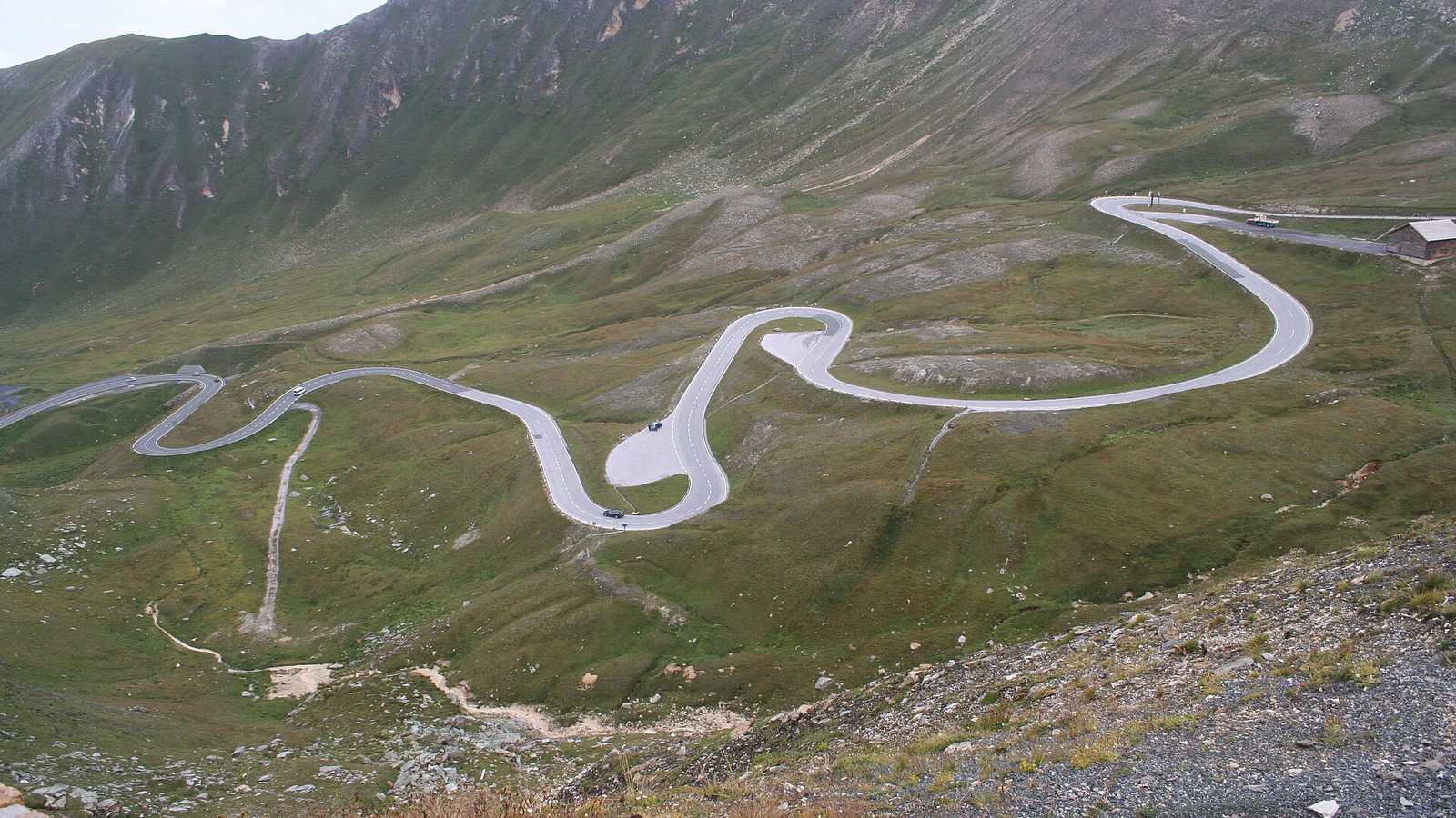
Austria's showpiece mountain road runs 48 km from Fusch to Heiligenblut through the Hohe Tauern National Park, with 36 numbered hairpins and a high point of 2,504 m at the Hochtor tunnel. It is a toll road, and the money shows: the surface is immaculate, the corners are properly cambered, and there are generous places to stop.
The drive
The main road is a flowing, well-sighted climb with wide hairpins you can take at a sensible pace without using the other lane. Two spurs are worth the detour. The Edelweißspitze is a narrow cobbled climb to 2,571 m, the highest point you can drive to. The Kaiser-Franz-Josefs-Höhe spur ends at a viewing terrace over the Pasterze glacier and the Grossglockner itself.
Because the toll is a day ticket, it makes sense to drive it in both directions. North to south in the morning puts the light on the big peaks; the return run in late afternoon is usually much quieter.
In your Lotus
If you want one alpine pass where you can use a Lotus properly without wincing at the tarmac, this is it. The smooth surface suits stiff suspension and low splitters, and the long third-gear sections between hairpins let a supercharged Exige stretch out. The cobbles up to the Edelweißspitze are slippery when wet.
Watch out for
- The road is closed overnight; opening hours shorten in spring and autumn.
- Marmots and photographers both wander onto the road near the lay-bys.
- Weather at 2,500 m can turn to snow in any month. Check the webcams on the official site.