Canada · Coastal · Loop · Scenic
Cabot Trail
Cape Breton Island, Nova Scotia
- Length
- 298 km185 miles
- High point
- 455 m1,493 ft
- Driving time
- 5–8 hours
- Season
- June to October
- Toll
- Free (national park pass required for stops)
- Country
- Canada
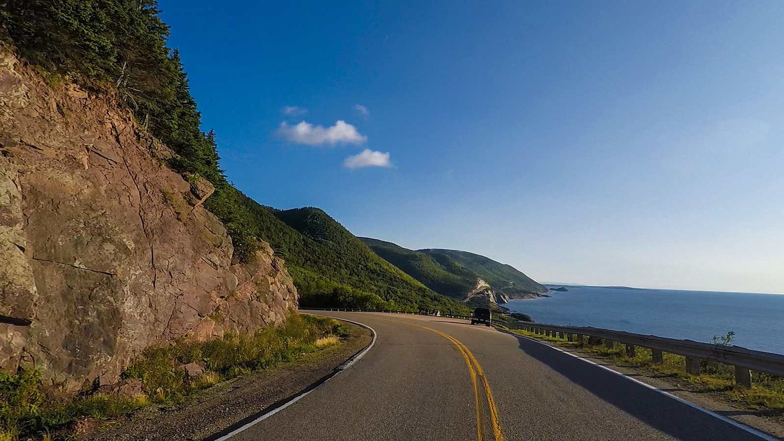
The Cabot Trail is a 298 km loop around the northern tip of Cape Breton Island, a third of it inside Cape Breton Highlands National Park. The western side between Chéticamp and Pleasant Bay climbs and falls along cliffs above the Gulf of St Lawrence, and the eastern side crosses Cape Smokey above the Atlantic.
The drive
Anticlockwise keeps you on the ocean side, which is better for views and for pulling into the look-offs. The climbs over French Mountain, MacKenzie Mountain and North Mountain are the driving highlights, with steep grades and tight switchbacks.
It can be done in a day, but two is better. Early October brings autumn colour and the Celtic Colours festival.
In your Lotus
Atlantic Canada has a small but active Lotus community, and the Cabot Trail is its signature drive. It pairs naturally with a trip to Targa Newfoundland, which is a ferry ride away. Pavement quality varies from new to badly frost-damaged, so watch for potholes on the eastern side.
Watch out for
- Moose are a serious hazard at dawn and dusk.
- Rough surface and roadworks on some sections every summer.
- Fog rolls in from the sea with little warning.
.jpg)