United States · Coastal · Scenic · Bucket list
Pacific Coast Highway: Big Sur
California State Route 1 · Carmel to San Simeon
- Length
- 145 km90 miles
- Driving time
- 3 hours
- Season
- Year-round (best April to June, September to October)
- Toll
- Free
- Country
- United States
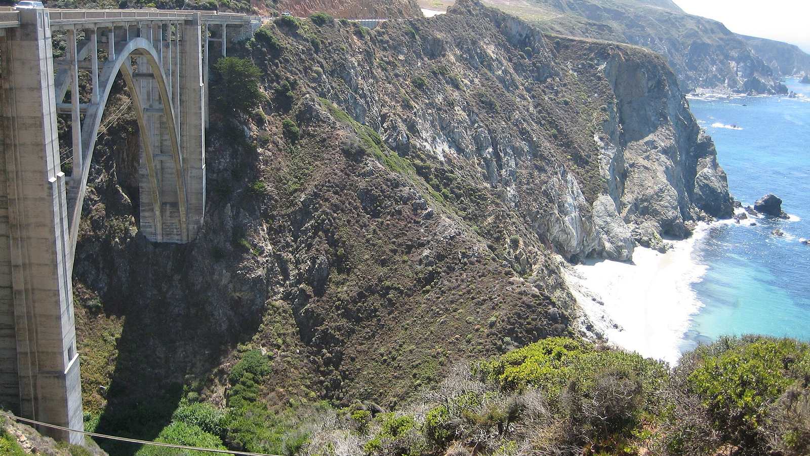
California's Highway 1 between Carmel and San Simeon clings to the Santa Lucia mountains for about 90 miles, hundreds of feet above the Pacific. Bixby Creek Bridge, McWay Falls and the long descent to Ragged Point are the landmarks, and there is barely a straight on it.
The drive
Southbound puts you on the ocean side of the road with the pull-outs on your right. The northern third, from Carmel to Big Sur village, is the busiest. South of Lucia the traffic thins and the road gets tighter and more exposed.
For a second day, Nacimiento-Fergusson Road climbs inland from the coast in a series of hairpins, and Carmel Valley Road (G16) is a quiet, technical alternative on the inland side.
In your Lotus
This is top-down touring more than hard driving, and a Lotus with its roof off gives you the whole view. Fuel is scarce and expensive between Carmel and Cambria, so start with a full tank. Morning fog usually burns off by eleven.
Watch out for
- Landslides close sections of the highway for months at a time. Check Caltrans before you set out; a closure in the middle means a very long detour.
- RVs and rental cars drift across the centre line on blind bends.
- Mobile coverage is absent for most of the route.