United States · Fast sweepers · Mountain · Close to a city
Angeles Crest Highway
California State Route 2
- Length
- 106 km66 miles
- High point
- 2,409 m7,904 ft
- Driving time
- 2 hours
- Season
- Year-round on the lower section; upper section often closed in winter
- Toll
- Free
- Country
- United States
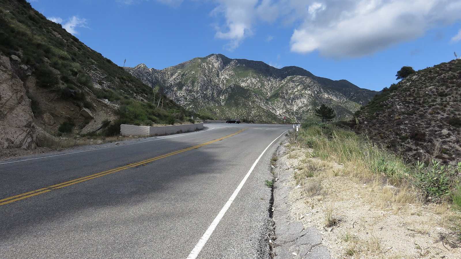
Angeles Crest Highway starts in La Cañada Flintridge, twenty minutes from downtown Los Angeles, and runs 66 miles through the San Gabriel Mountains to Wrightwood, topping out at 7,903 ft at Dawson Saddle. It is the reason Southern California has such a strong sports car culture: a real mountain road you can drive before breakfast.
The drive
The lower section climbs quickly through fast, open bends to the Angeles Forest Highway junction and on past Red Box. Beyond the old Newcomb's Ranch roadhouse the traffic drops away and the road gets higher, narrower and wilder through to Islip Saddle and Wrightwood.
Popular loops drop off the Crest via Angeles Forest Highway and Big Tujunga Canyon, or Upper Big Tujunga, all of which are good in their own right.
In your Lotus
A large share of the Elises sold in the United States live within reach of this road, and early on a weekend morning you will see them. It is a quicker road than most on this list, with long third-gear corners. Rockfall is the main hazard for a low car: debris on the racing line is normal.
Watch out for
- Rocks and gravel in the road after any wind or rain.
- Upper sections close for snow, slides and repairs, sometimes for long periods. Check Caltrans.
- California Highway Patrol runs regular enforcement, and there is no fuel on the route.