Portugal · River valley · Scenic · Fast sweepers
N222 Douro Valley
Estrada Nacional 222 · Peso da Régua to Pinhão
- Length
- 27 km17 miles
- Driving time
- 40 minutes
- Season
- Year-round (best April to June, September to October)
- Toll
- Free
- Country
- Portugal
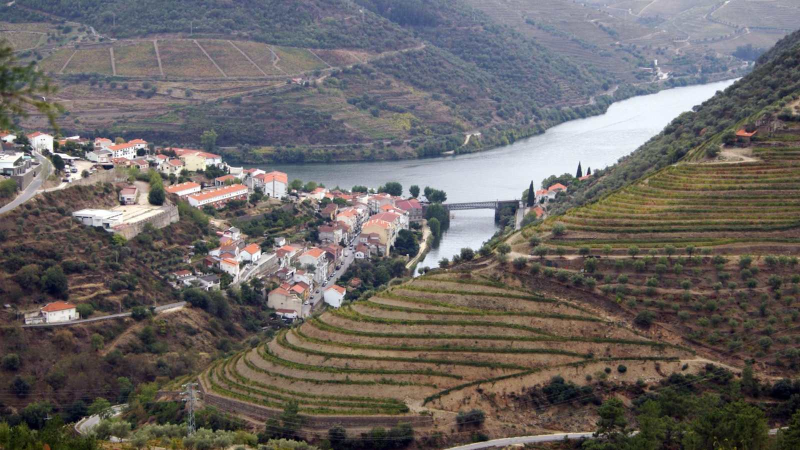
The 27 km of the N222 between Peso da Régua and Pinhão follow the south bank of the Douro through the terraced vineyards of the port wine region. In 2015 a study commissioned by a car hire company named it the best driving road in the world, on the basis of its ratio of bends to straights. That is marketing, but it is a lovely road.
The drive
The road stays close to the river almost all the way, with 93 bends and very little gradient. The corners are medium-speed and well sighted, the surface is good, and the view is constant: water on one side, terraces rising on the other.
For more of a workout, carry on. The N222 continues east beyond Pinhão and climbs away from the river towards São João da Pesqueira, and the N323 and N212 into the hills to the north are tighter and emptier.
In your Lotus
This is a roof-off, third-gear road, best in the cool of the morning. In the September harvest it fills with tractors and grape lorries. Northern Portugal as a whole is superb Lotus country: light traffic, good surfaces and mountains in every direction.
Watch out for
- Harvest traffic in September and early October.
- River-cruise coaches around Pinhão at midday.
- It gets extremely hot in the valley in July and August.
.jpg)