Thailand · Loop · Touring · Technical
Mae Hong Son Loop
Routes 1095 and 108 · Northern Thailand
- Length
- 600 km373 miles
- High point
- 1,400 m4,593 ft
- Driving time
- 3–4 days
- Season
- November to February
- Toll
- Free
- Country
- Thailand
The Mae Hong Son Loop is a 600 km circuit from Chiang Mai through Pai, Mae Hong Son and Mae Sariang. Route 1095 from Chiang Mai to Mae Hong Son alone is advertised as having 1,864 curves, and the provincial chamber of commerce will sell you a certificate to say you drove them.
The drive
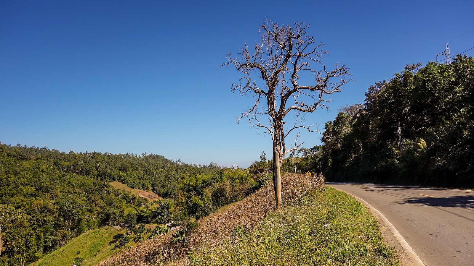
Go anticlockwise. Route 1095 to Pai is 130 km of almost continuous second- and third-gear bends over forested ridges, and it continues in the same way to Mae Hong Son. The southern half on Route 108 is faster and more open, and a side trip up Doi Inthanon takes you to Thailand's highest point.
The cool season from November to February has clear air and dry roads. From March the burning season brings heavy smoke.
In your Lotus
Thailand has an enthusiastic Lotus owners' scene, and this is its great road trip. The surface on 1095 is mostly good but has sudden rough patches, steep cambers and diesel spills on the hairpins. Fuel of the octane a supercharged car wants is not available everywhere, so plan stops in the larger towns.
Watch out for
- Minibuses and pickup trucks cut corners on Route 1095.
- Smoke haze from March to early May.
- Left-hand traffic, and scooters everywhere near Pai.
.jpg)