France · High alpine · Touring · Bucket list
Route des Grandes Alpes
Lake Geneva to the Mediterranean
- Length
- 720 km447 miles
- High point
- 2,764 m9,068 ft
- Driving time
- 3–4 days
- Season
- Mid-June to mid-October
- Toll
- Free
- Country
- France
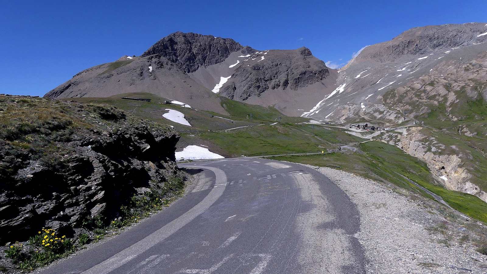
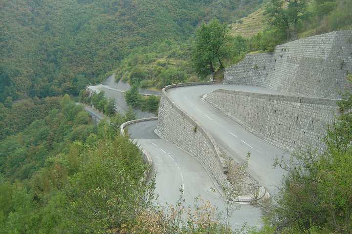
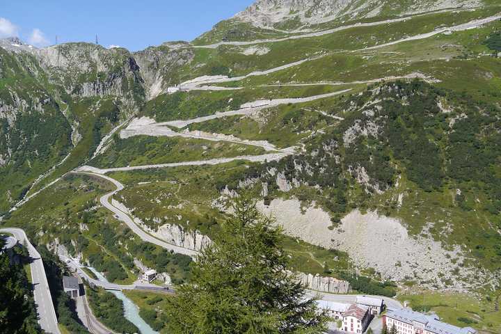
The Route des Grandes Alpes is a signed touring route of about 720 km from Thonon-les-Bains on Lake Geneva to the Mediterranean at Nice, crossing more than a dozen cols on the way. It includes the Col de l'Iseran, at 2,764 m the highest paved pass in the Alps, along with the Galibier, the Izoard and the Cayolle.
The drive
Three or four days is the right pace. A typical split is Thonon to Val d'Isère over the Colombière, Aravis and Cormet de Roselend; then Val d'Isère to Briançon over the Iseran, Télégraphe and Galibier; then Briançon to Barcelonnette via the Izoard and Vars; and a final day over the Cayolle or the Bonette to the coast.
The variety is what makes it. The Roselend is open and pastoral, the Iseran is bleak and high, the Izoard's southern side crosses the bare scree of the Casse Déserte, and the last descents arrive in olive groves.
In your Lotus
This is the classic long Lotus tour, and it is entirely manageable even in an Elise if you pack soft bags and plan fuel. Mountain villages often have only unmanned card-operated pumps, and a 40-litre tank goes quickly at altitude. Naturally aspirated cars feel the thin air above 2,000 m; supercharged ones much less so.
Watch out for
- The high cols open in stages through June. The Iseran and Galibier are usually last.
- Tour de France route days close passes for most of the day in July.
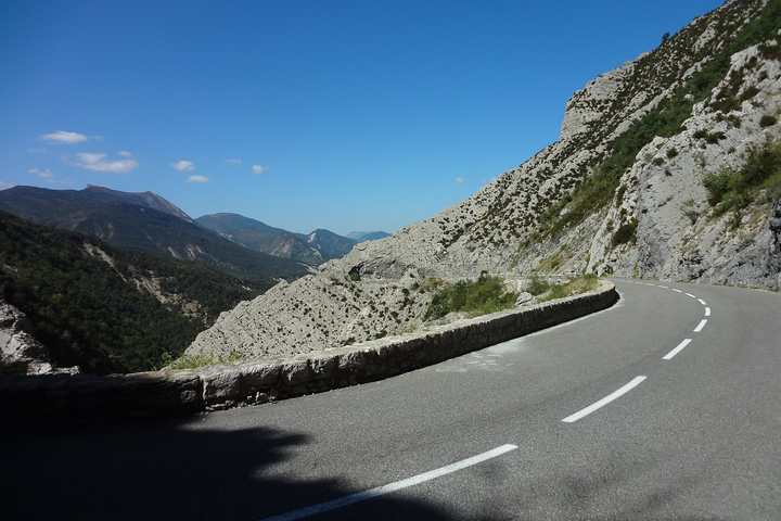
- Surfaces vary: the big-name cols are smooth, some link roads are rough and narrow.
.JPG)