South Africa · Coastal · Toll road · Scenic
Chapman's Peak Drive
M6 · Hout Bay to Noordhoek, Cape Town
- Length
- 9 km6 miles
- Driving time
- 20 minutes
- Season
- Year-round (best October to April)
- Toll
- Toll road
- Country
- South Africa
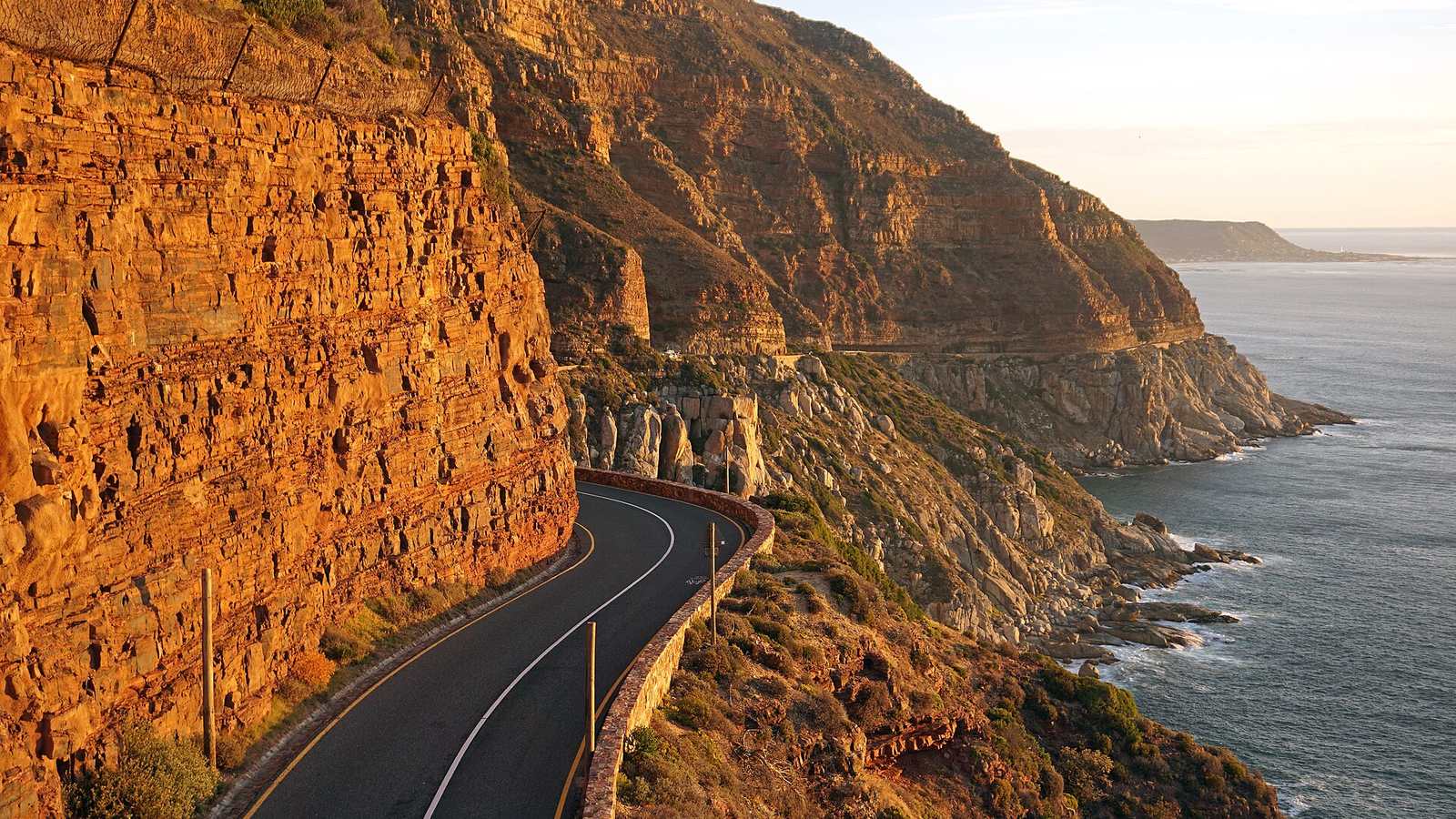
Chapman's Peak Drive is 9 km long with 114 curves, cut into the near-vertical cliffs between Hout Bay and Noordhoek on the Cape Peninsula. It opened in 1922 and was rebuilt in the early 2000s with rockfall shelters and catch fences. The Atlantic is directly below you for the whole length.
The drive
From Hout Bay the road climbs gently to a lookout at the highest point, then winds down towards the long white beach at Noordhoek. The corners are tight and blind, the limit is low, and it is over quickly, so most people drive it both ways.
It forms part of a natural peninsula loop: out through Camps Bay and along Victoria Road, over Chapman's Peak, down to Cape Point, and back via Simon's Town and the False Bay coast.
In your Lotus
Cape Town has the kind of roads and weather that make a roadster the obvious choice, and the Western Cape has an active Lotus community. Chapman's Peak is a scenic drive more than a quick one. For open road, head inland to the mountain passes.
Watch out for
- The road closes in high wind and after heavy rain because of rockfall risk. Check the operator's website.
- Cyclists, especially on weekend mornings.
- Sunset traffic is heavy; early morning is better.